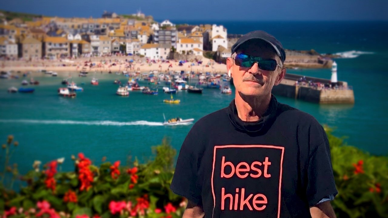
Trip report by BestHike editor Rick McCharles.
The South West Coast Path is England’s longest established National Trail, stretching 630 miles (1,014 km) around the southwestern peninsula of Cornwall.
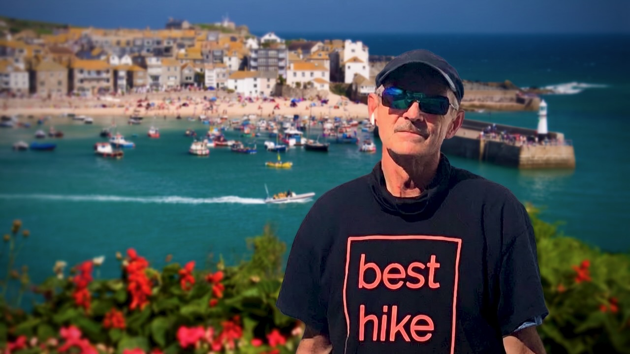
Many feel the best section is St Ives to Penzance, taking in Land’s End, the most westerly point of mainland England.
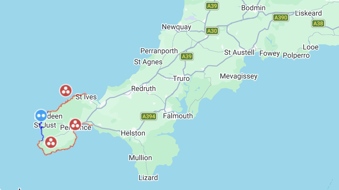
For me that meant:
- about 41 miles (66km) plus side trips & detours to campgrounds
- I hiked 3.5 days. It was more demanding than expected.
- about 3,860m (12,660ft) of cumulative climbing
- cost for tenting was good value. Average 15 pounds ($20USD)
Click PLAY or watch my highlights on YouTube.
For navigation I used AllTrails – South West Coast Path: St Ives to Penzance offline. About 95% accurate. A few of the trails have changed over the years.
When in doubt, I checked Maps.me offline.
If you want more detailed advice, get the Cicerone guidebook – Walking the South West Coast Path.
I flew in to Cornwall Airport Newquay, the main flight hub for the region.
As a result, ended up staying 2 nights before and 2 nights after in charming Newquay.
I love that tourist town ➙ PHOTOS & VIDEO.
It was easy to get to St. Ives via bus and/or train.
Crowded with tourists, I walked through town to quickly get started.
Day 1 – Sept 15 – St Ives to Wild Camp
This spectacular hike is well posted. But you can get lost by accidentally taking local side trails.
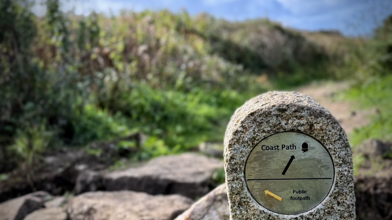
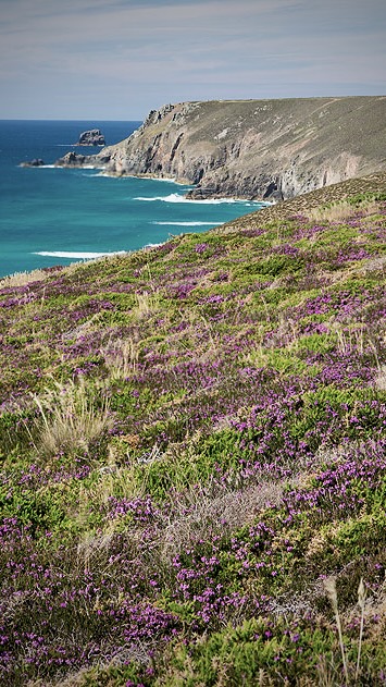
Very quickly I was into dramatic maritime heathland, coves, and steep drop-off cliffs.
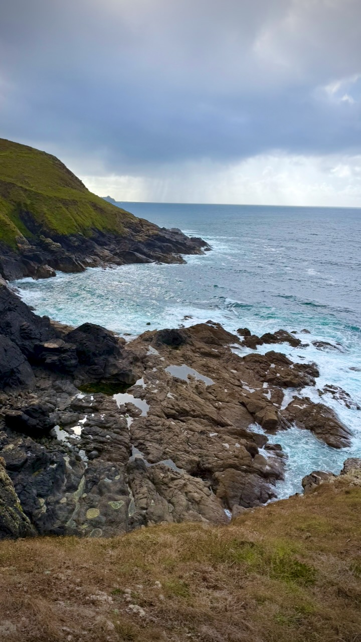
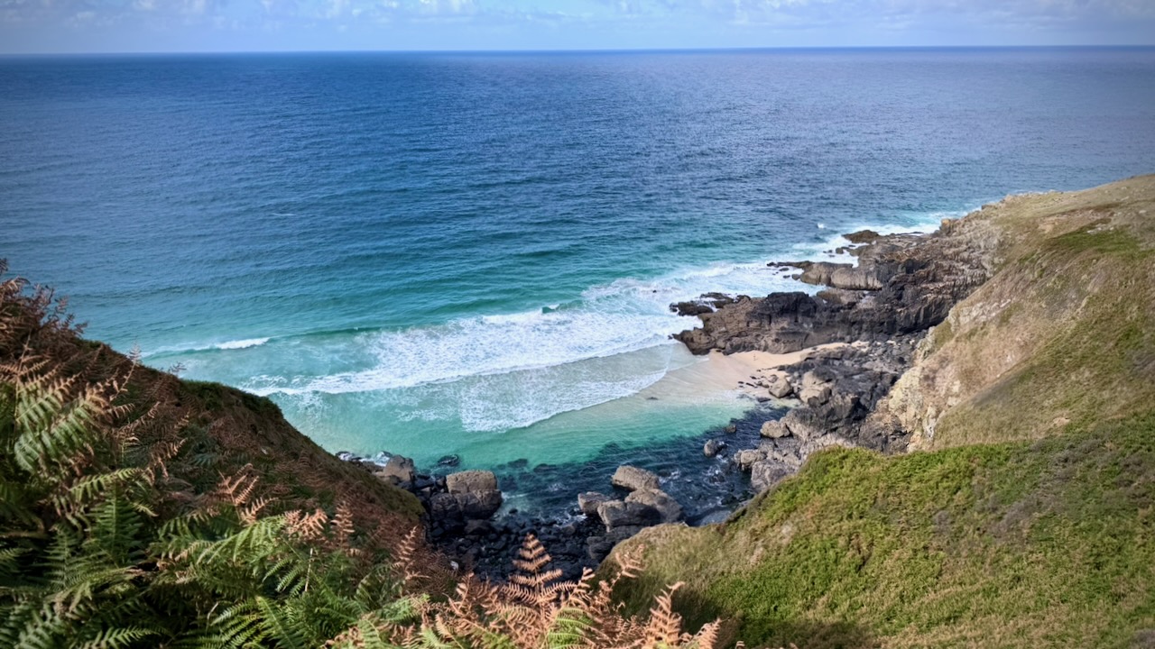
Over the 4 days, I was surprised how little beach walking is involved. Mostly you drop down to the ocean — and climb directly back up.
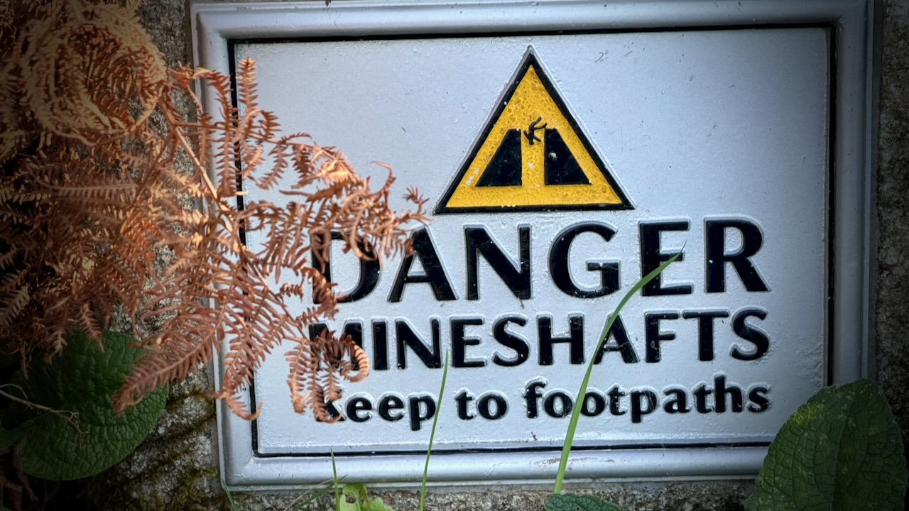
Many historic mine shafts, adits, and engine house ruins sit close to or directly alongside the coastal path. You should respect the frequent warnings.
Weather was terrific for this part of the world. Summer 2026 quite mild here — part of the European heat wave and global warming.
Still … it rains frequently. Sun showers in this case.
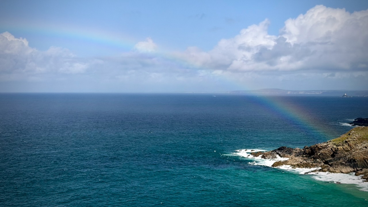
By dark, I’d only made it to Zennor Head. So decided to wild camp. For safety.
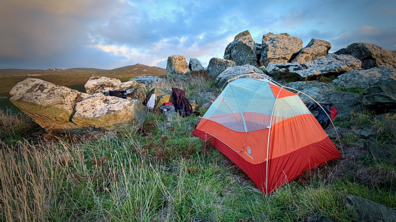
This was the best spot I could quickly find. Great view.
Actually, it’s very difficult to find places to wild camp. I’d strongly recommend the campgrounds, instead.
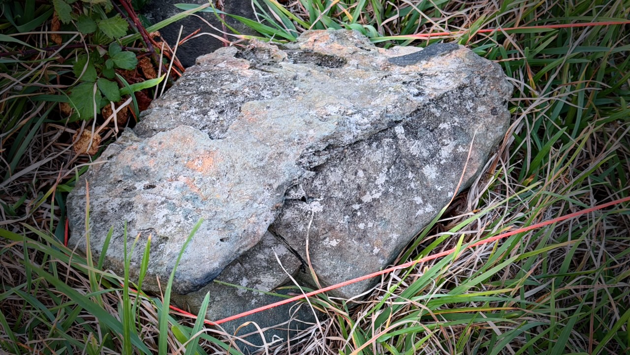
Low-growing, wind-swept shrubs like heather and gorse are densely packed. There’s no way to put up a tent on it.
I did put on the fly and tie down the tent thoroughly, just in case typical Cornwall wind & rain happened during the night. It did. 
Day 2 – Sept 16 – Wild Camp to YHA Land’s End Campsite
Happily, it was very windy when I packed up camp. I could dry the tent quickly.
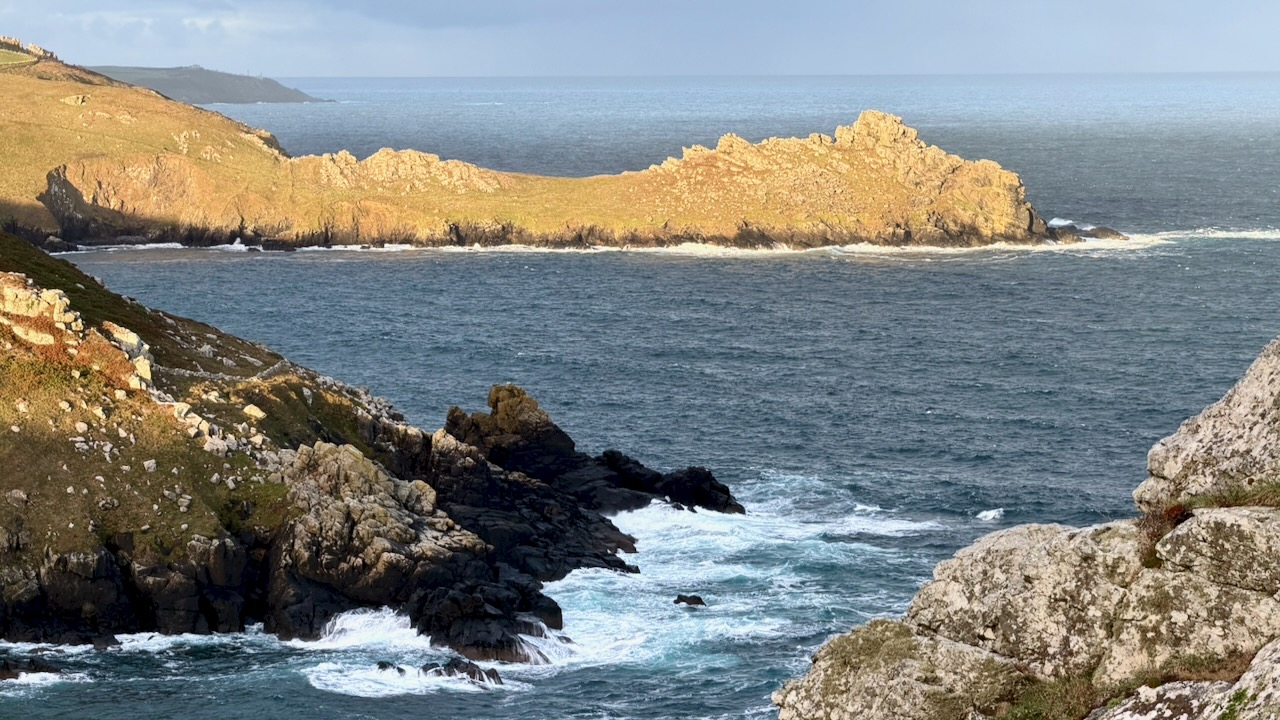
I felt very lucky with the weather, so far.
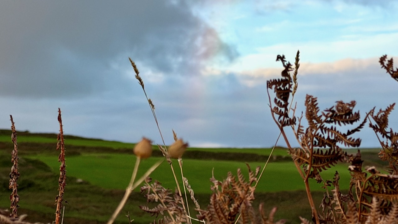
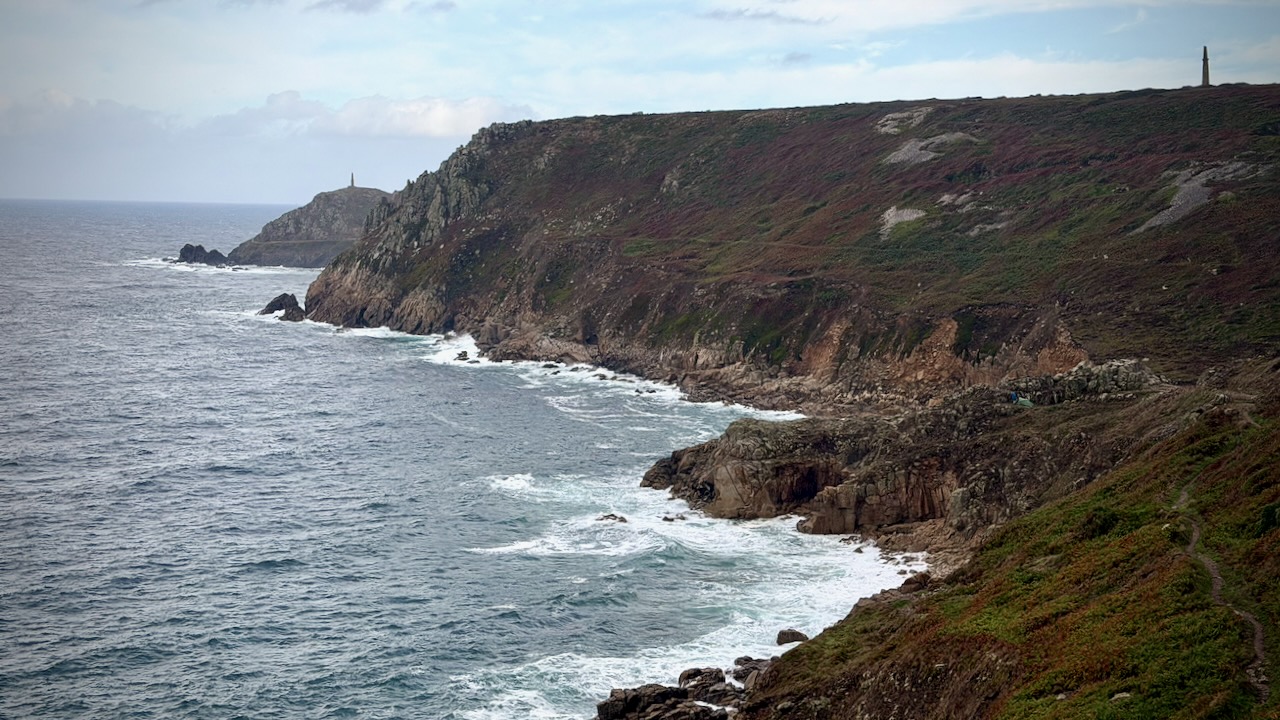
Here’s my best photo illustrating how this section goes. See the Path high above the coastline?
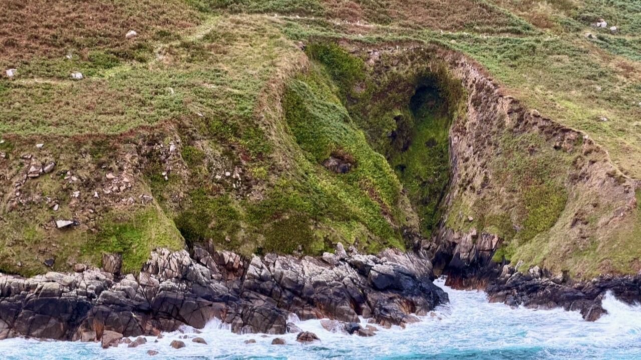
And here’s a typical vista from the Path.
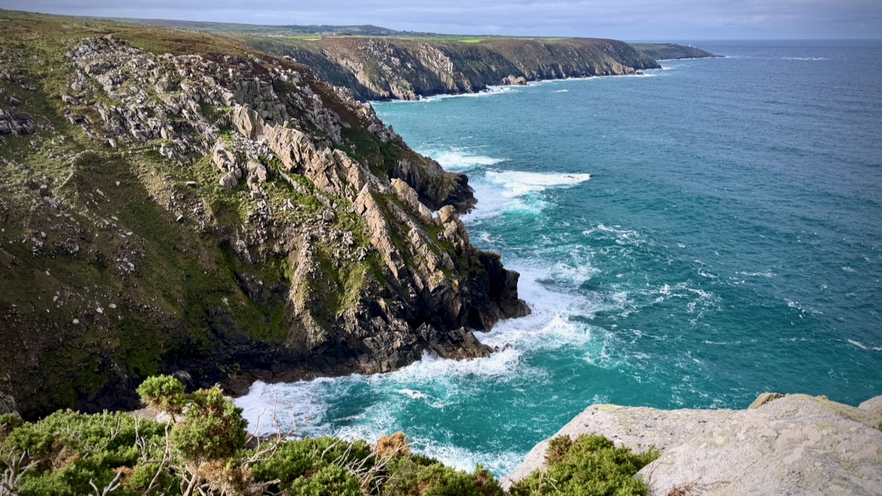
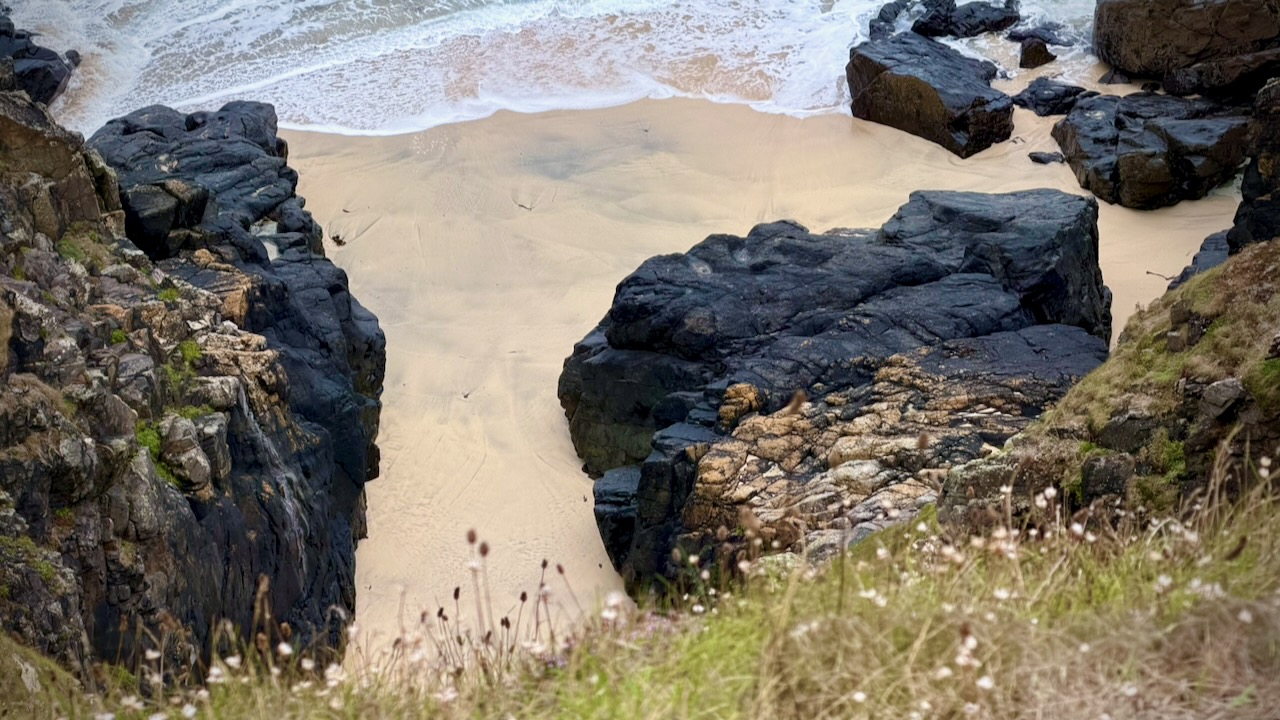
I would have enjoyed more beach walking. But you must side trip to reach most of the pocket beaches.
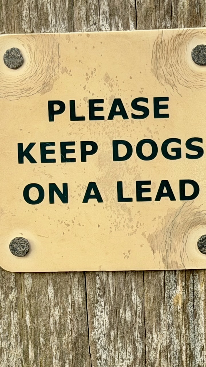
Quite a few people hike with their dogs.
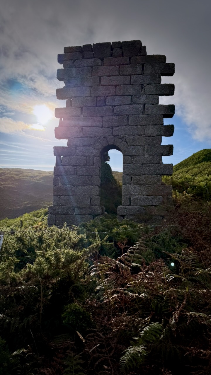
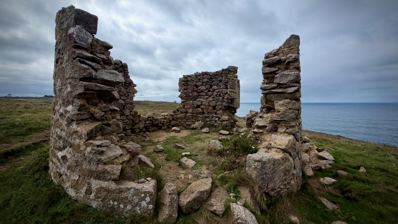
Interesting along the route are old ruins. There’s a lot of history here, of course.
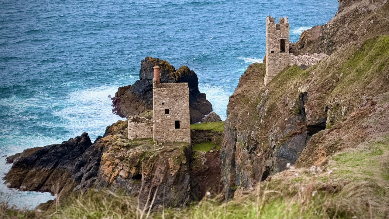
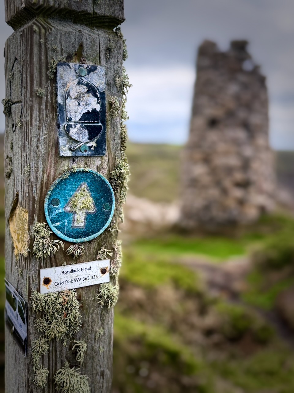
A highlight of the day was exploring the Botallack Mine ruins. Part of the UNESCO World Heritage Site – Cornwall and West Devon Mining Landscape. It had tunnels extending under the sea, in places for half a mile.
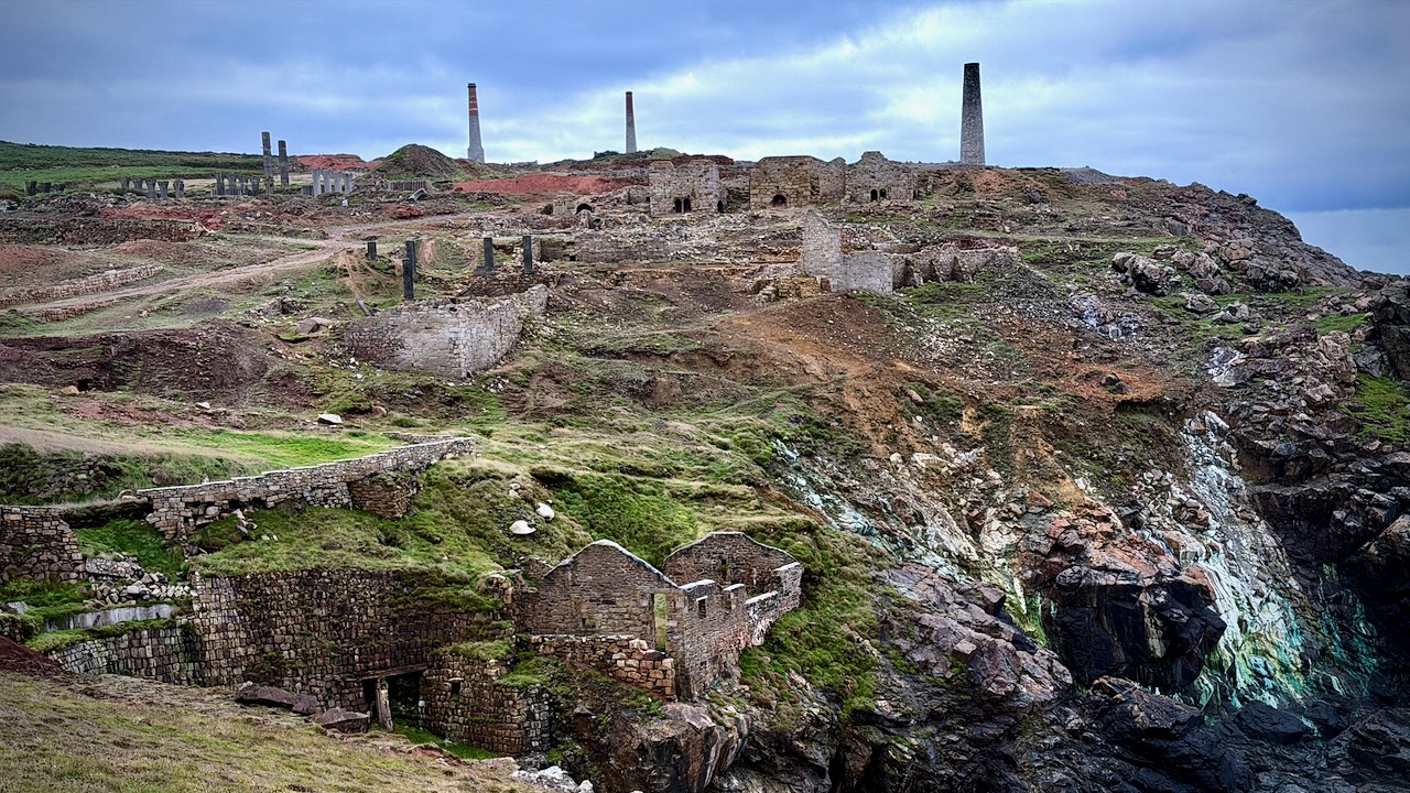
You can wander most of these structures. Try not to fall into any shafts.
Onward.
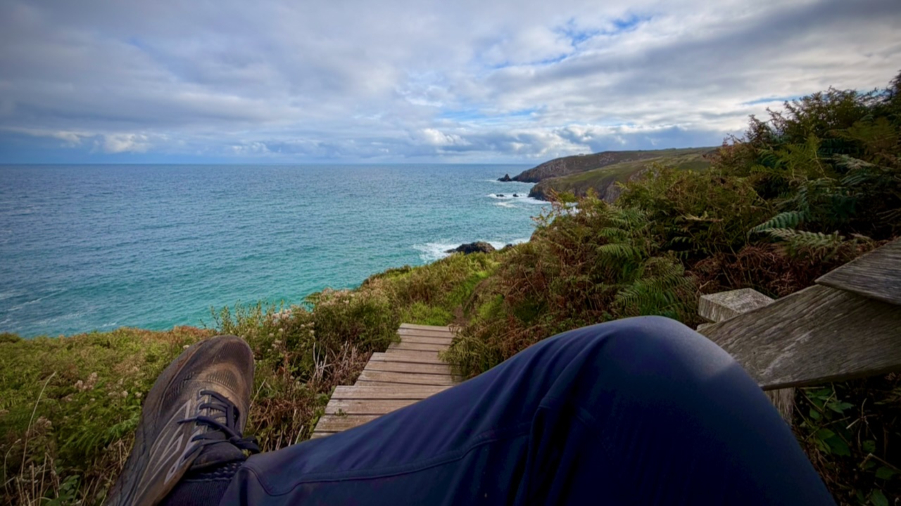
I took plenty of breaks, dropping my full pack. Enjoying the vistas.
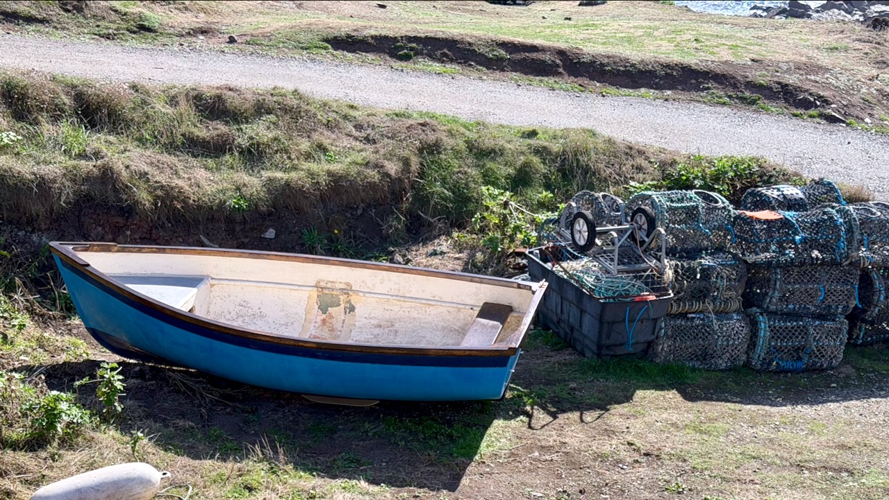
I saw less fishing activity than I would have expected. Perhaps it all happens early morning.
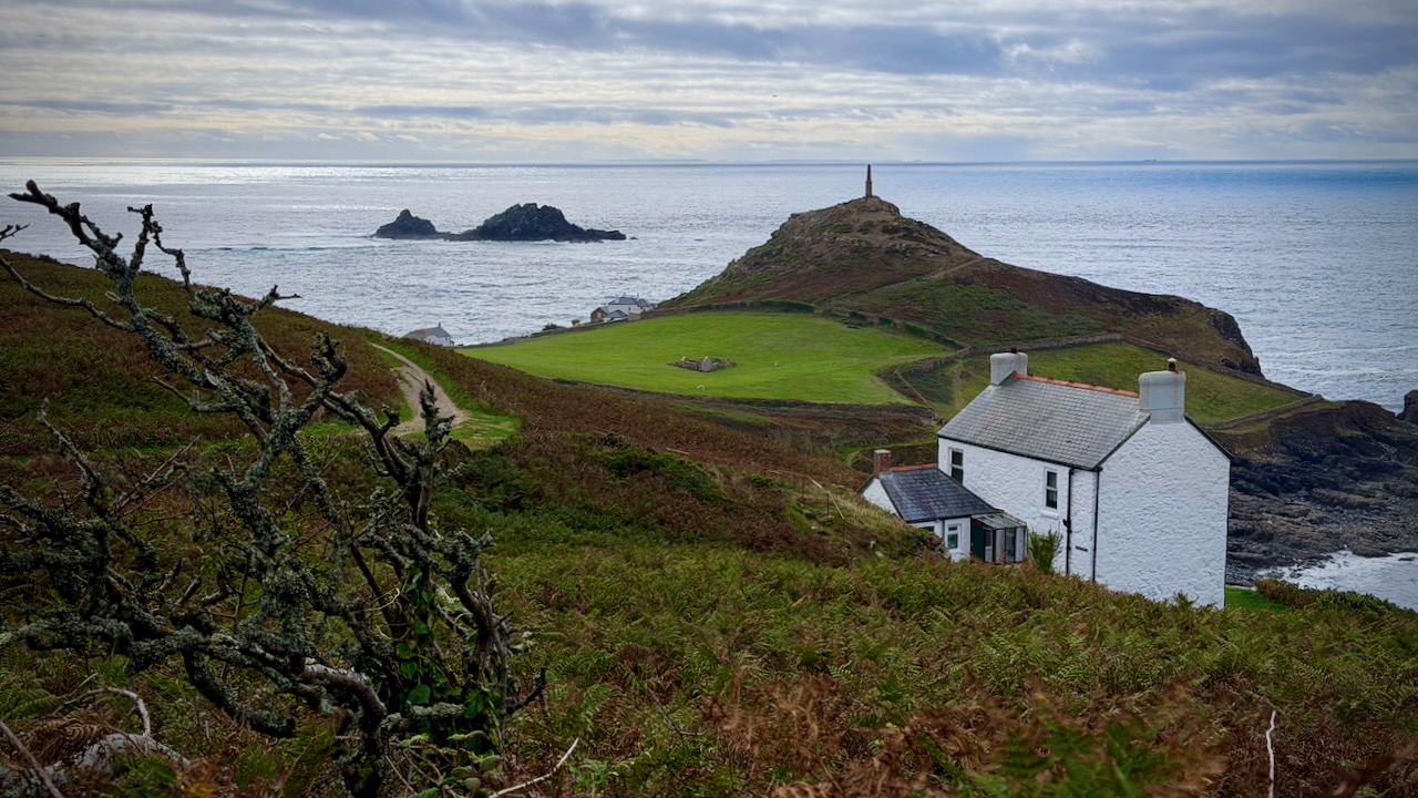
The most magical sight was Cape Cornwall. That chimney stack dates back to 1864.
Day 3 – Sept 17 – YHA Land’s End Campsite to Treen Farm Campsite
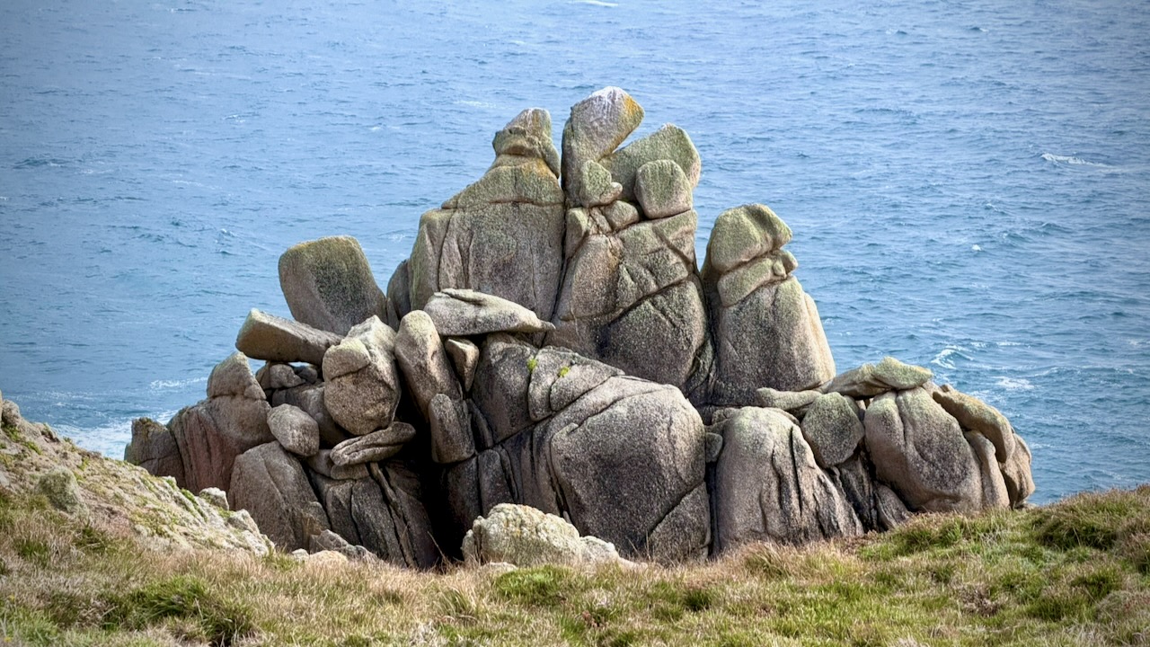
More strenuous Cornish ups and downs, unfenced cliff edges, and rocky granite steps.
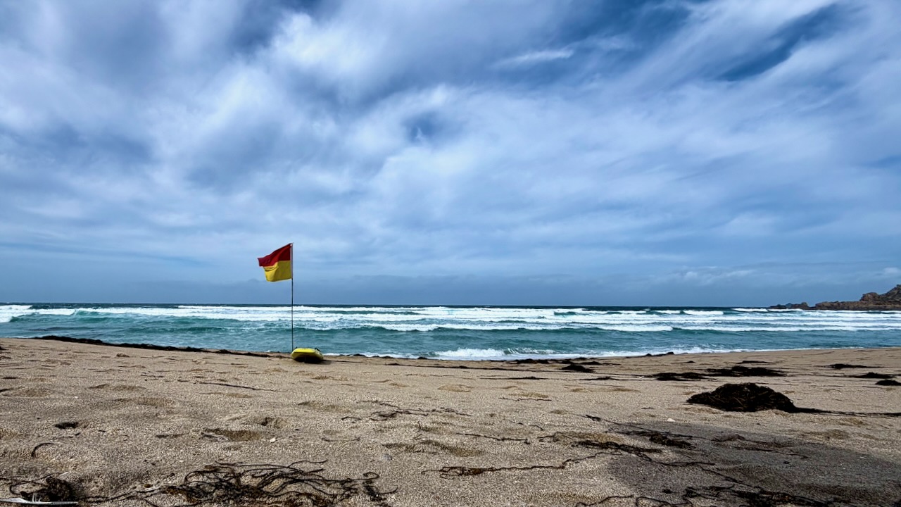
Weather as reliable as a baby’s diaper.
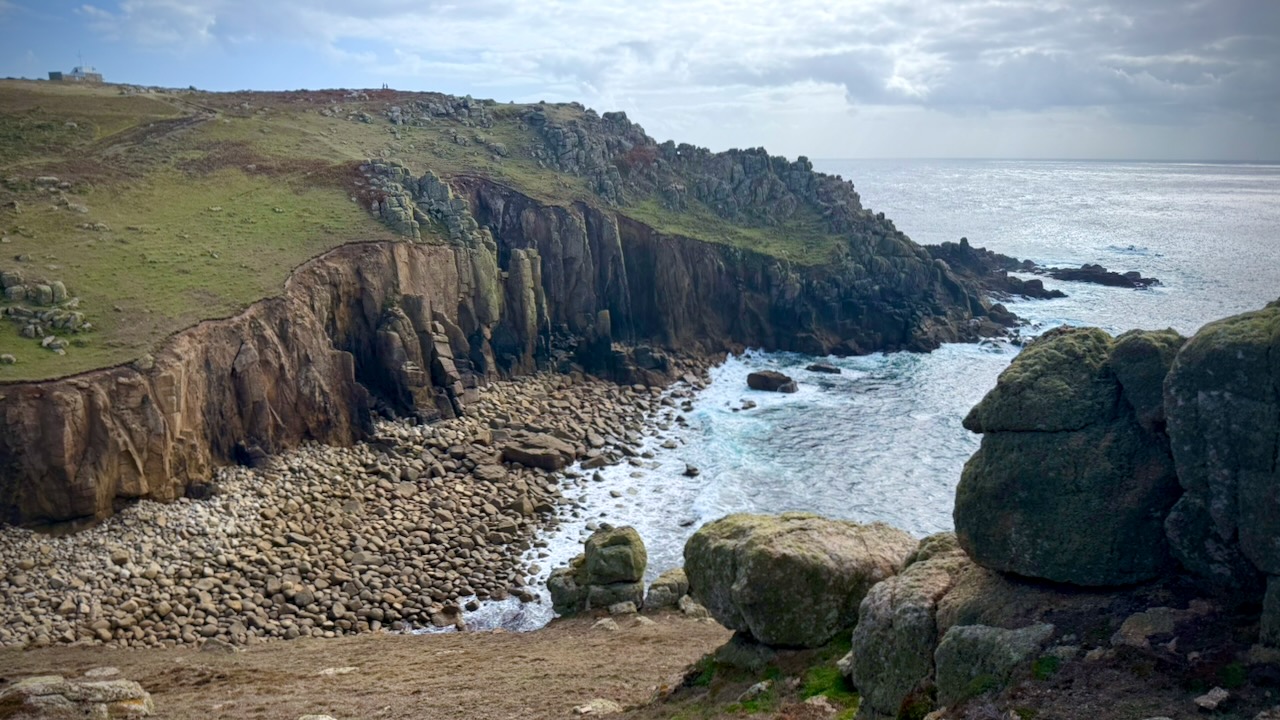
Reaching Land’s End was a highlight. The most westerly point of mainland England.
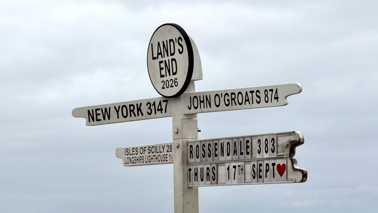
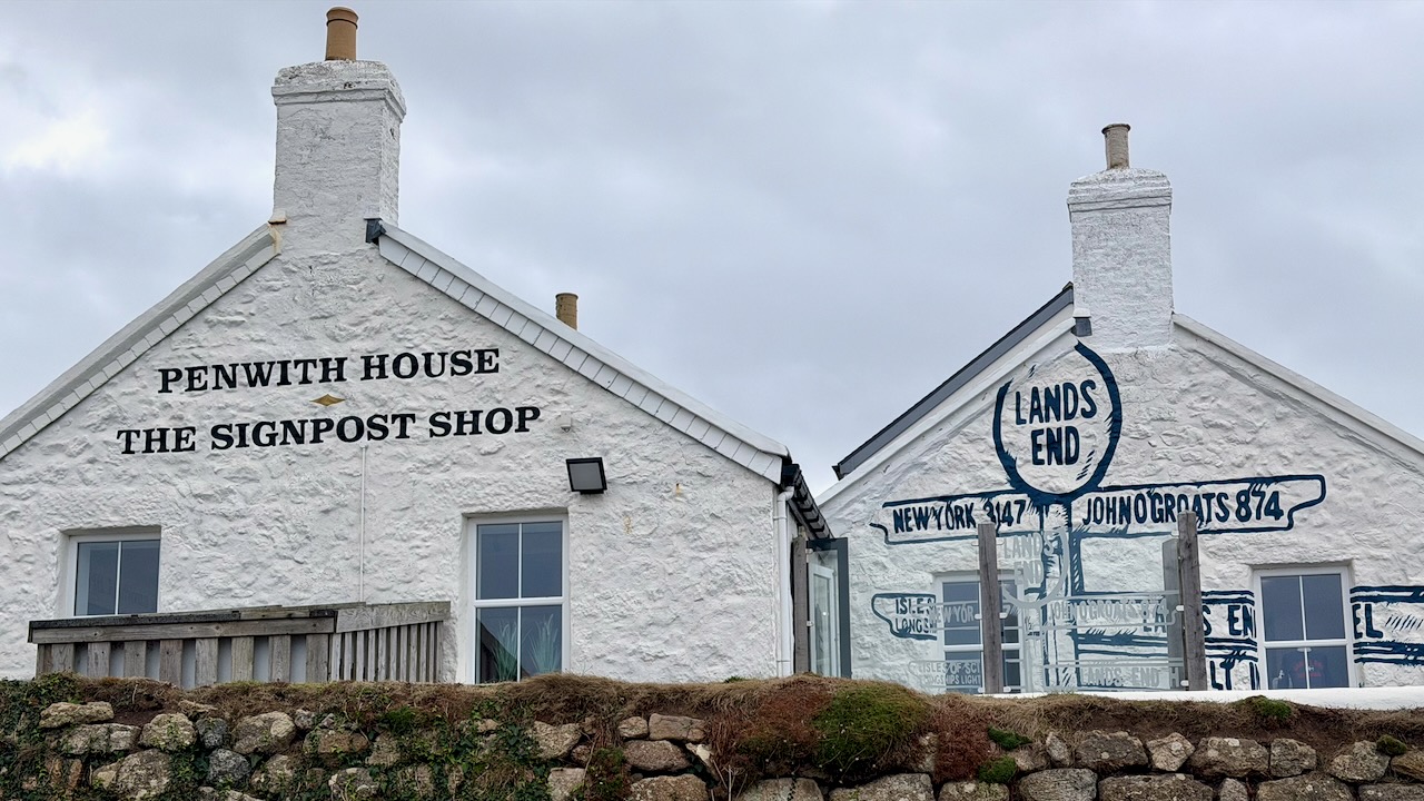
It’s a busy tourist trap.

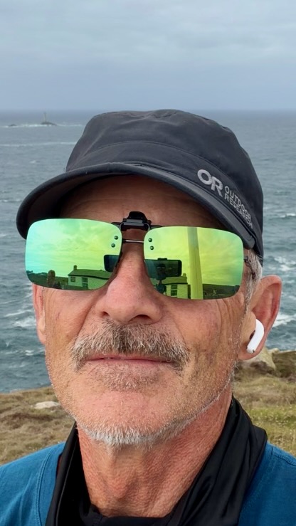
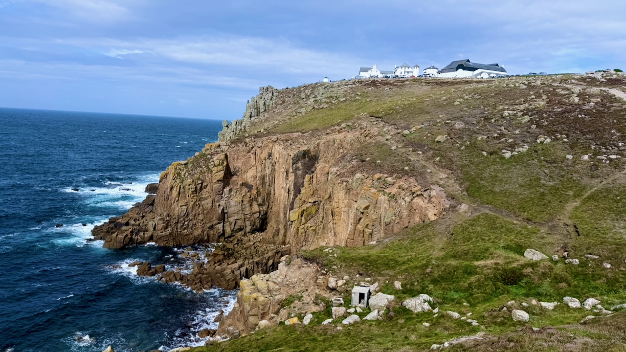
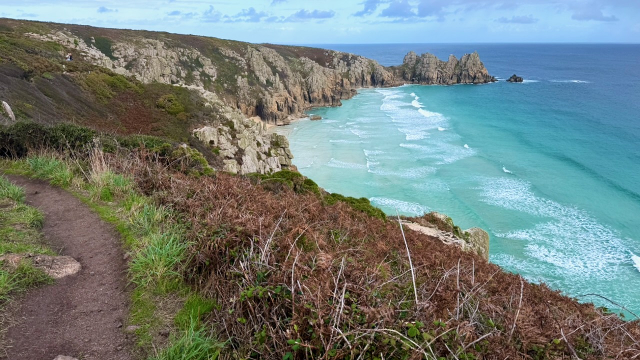
Scenery got better and better.
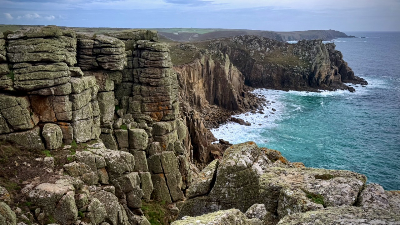
I stopped at Nanjizal Cove for some boulder scrambling.
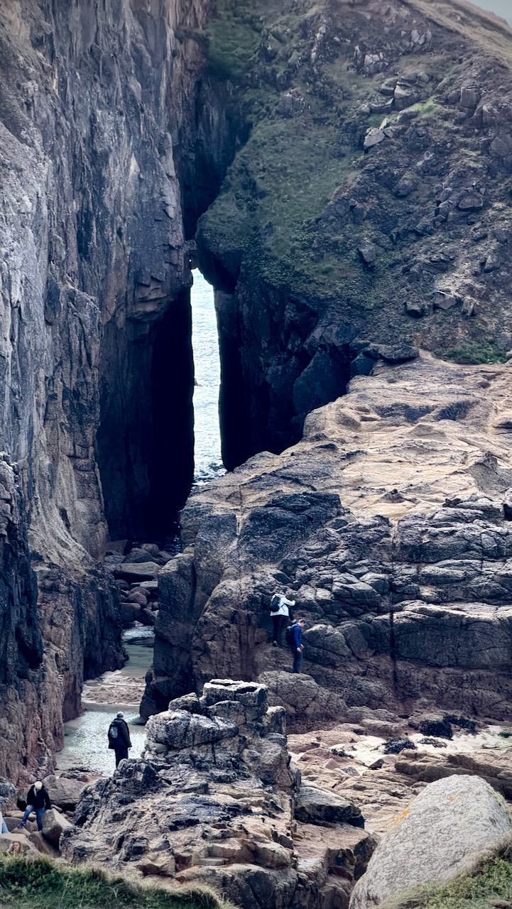
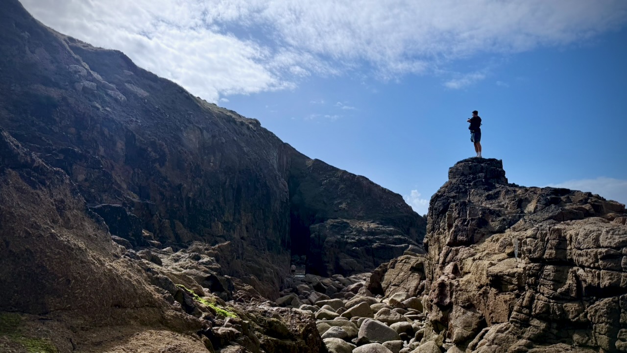
Gwennap Head: A great spot for spotting seals, basking sharks, and seabirds near the National Coastwatch lookout.
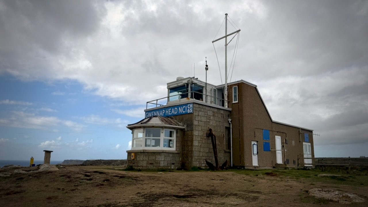
I really didn’t see any sea life, aside from birds.
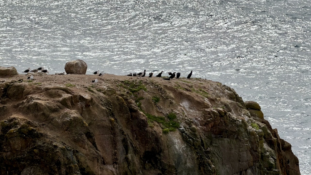
Onward.
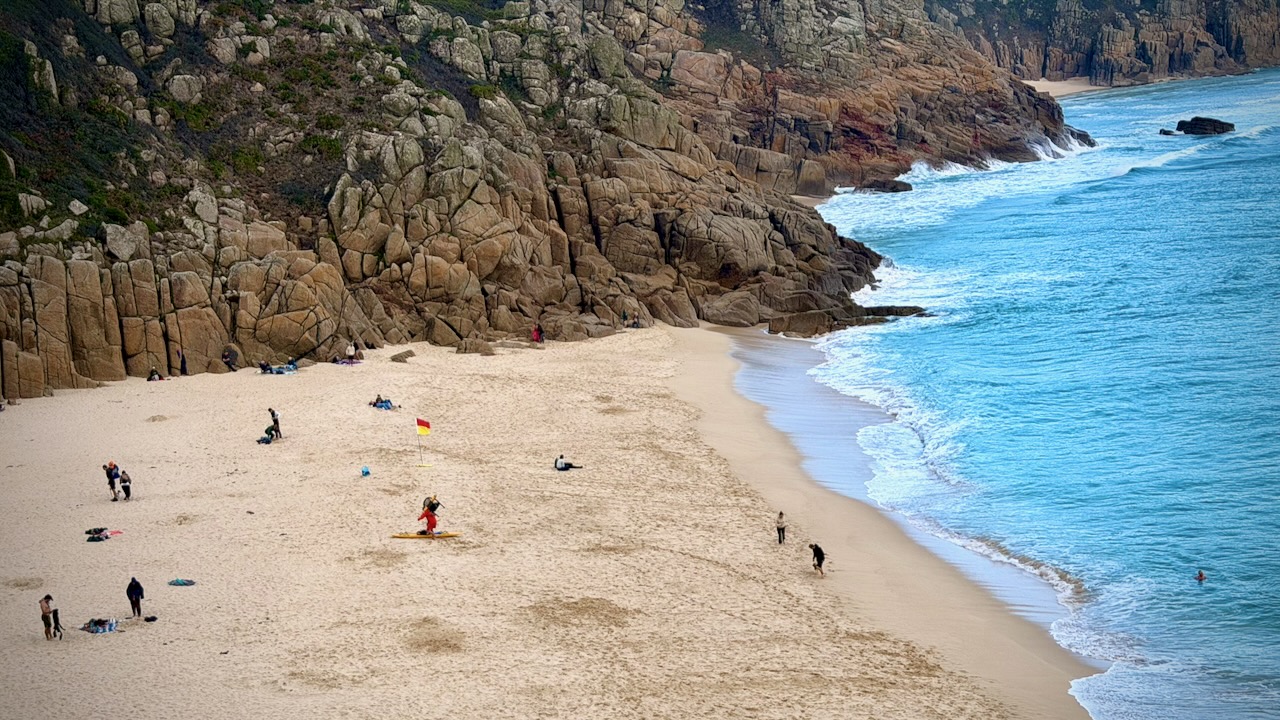
I arrived just after the end of a show in the famous open-air Minack Theatre hewn into the granite cliffside overlooking turquoise waters.
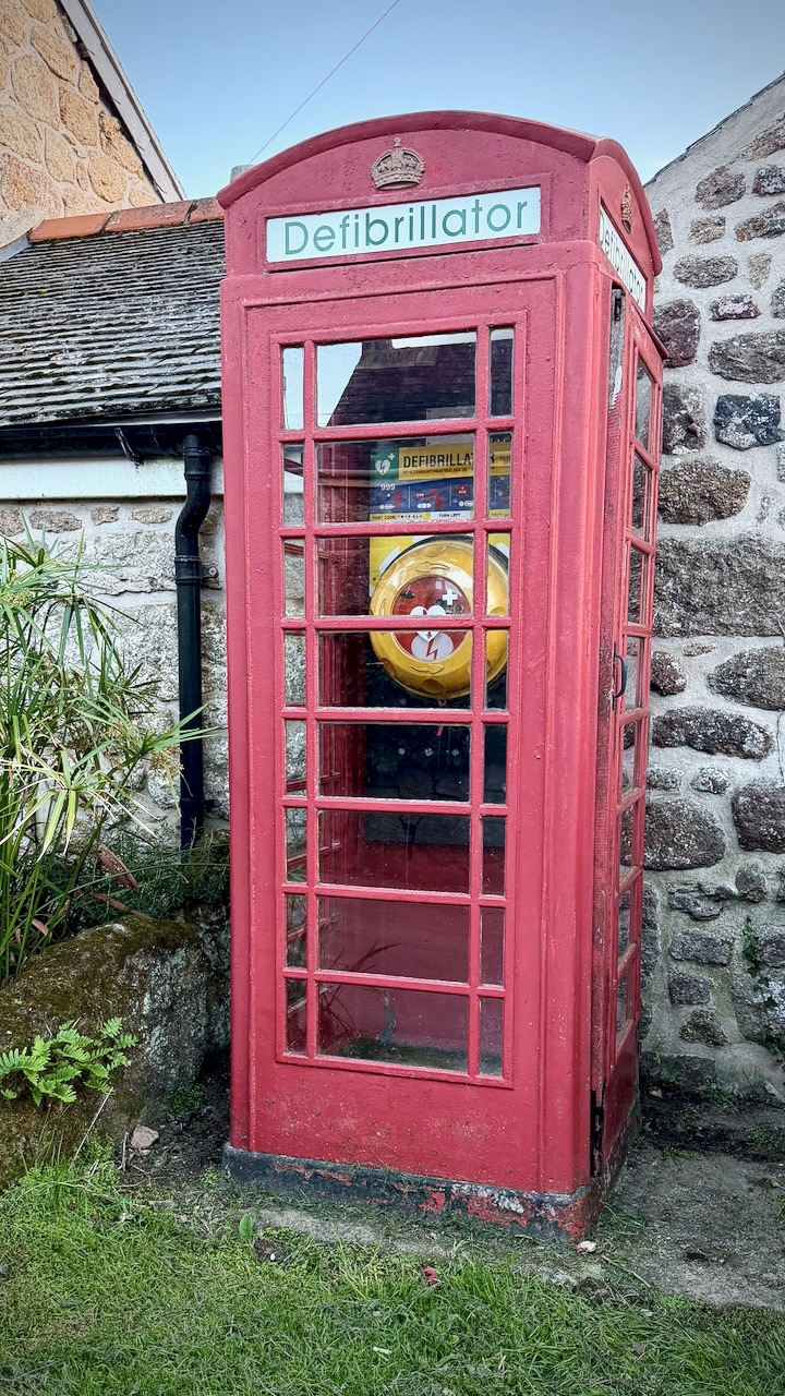
The old red British telephone boxes have been repurposed for all kinds of things.
Here’s a typical campsite. Hot showers. Simple kitchen.
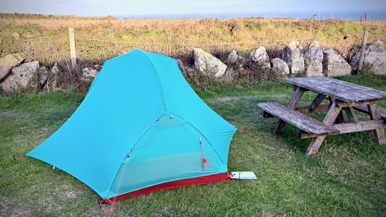
A rarity for this part of the world. Clear night sky with plenty of stars.

Day 4 – Sept 18 – Treen Farm Campsite to YHA Campsite Penzance
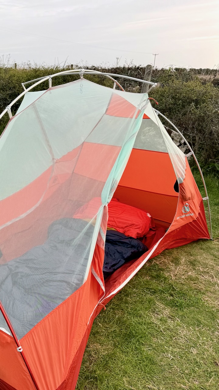
On this trip I was testing a new tent ➙ WindQuester Horizon Lite 2 Pro.
Heavier and slightly more complicated than my Hubba, but definitely more stable in wind and wet. More room, as well, as it’s a 2 person tent with 2 vestibules. I like it.
Last day different than the rest. I was approaching civilization. And it was more overcast.
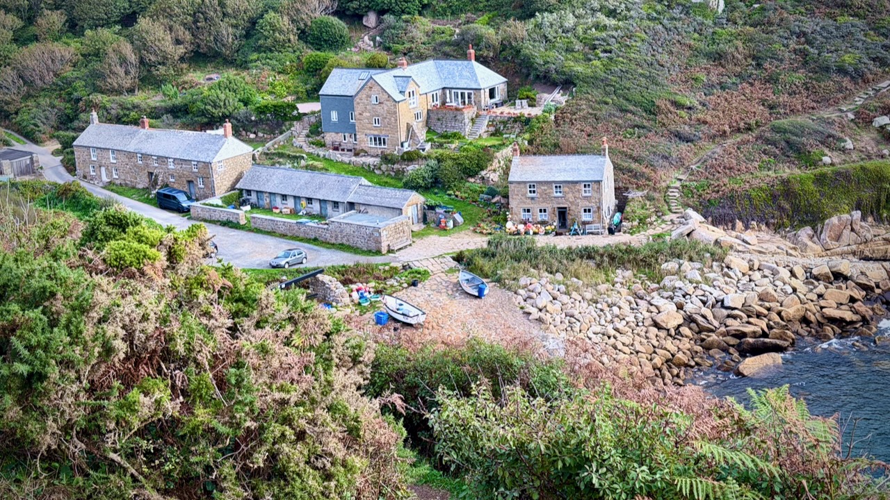
Here’s Lamorna Cove.
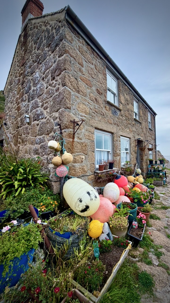
If you live here, ready for severe winter storms.
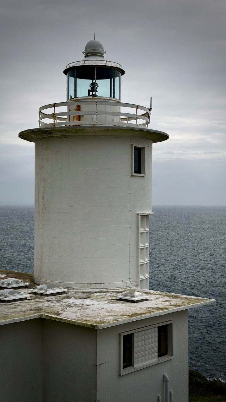
Of course there have been many shipwrecks, over the centuries.
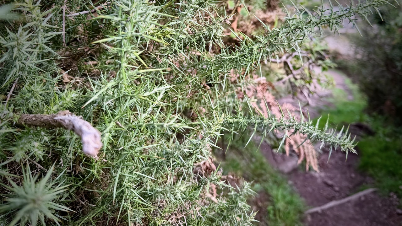
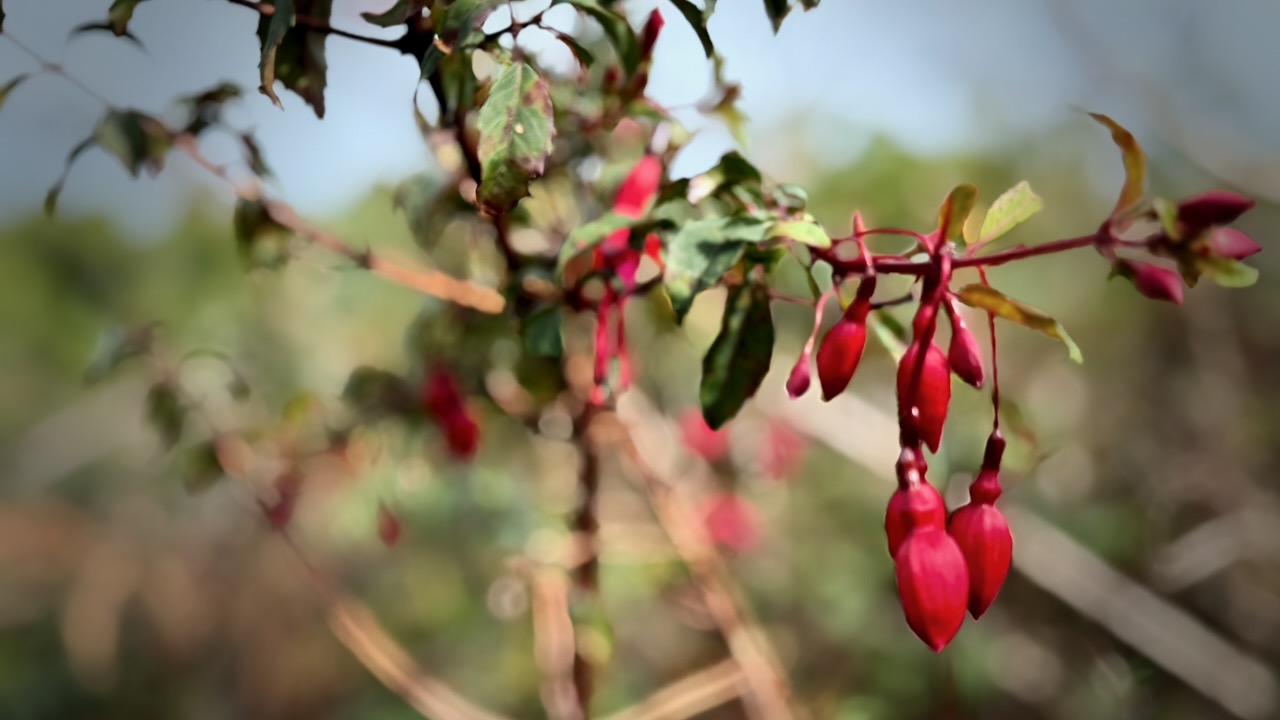
I should mention there are some sharp plants that you need to navigate carefully.
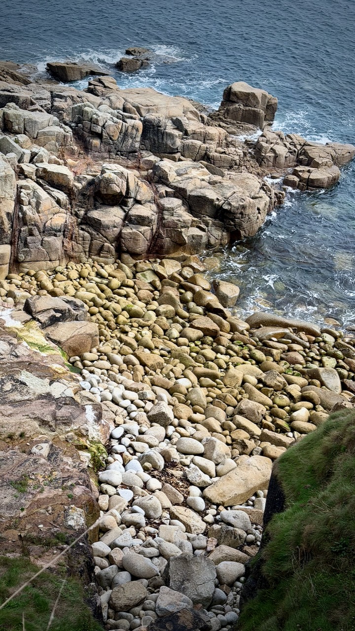
Bigger boulders this day.
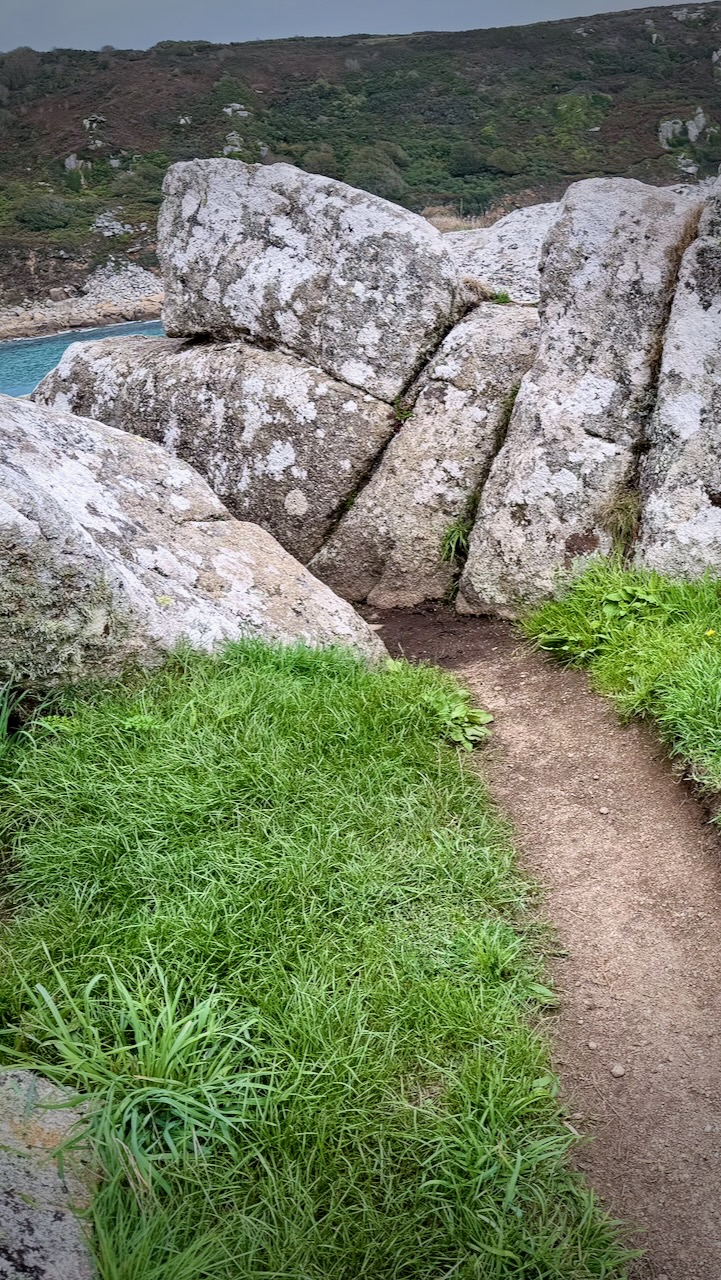
I ended up boulder hopping here — perhaps off trail.
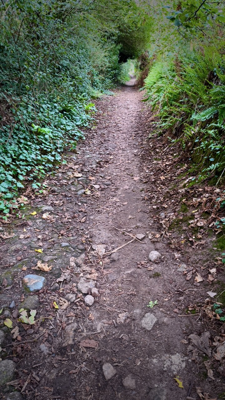
You finally get into some trees.
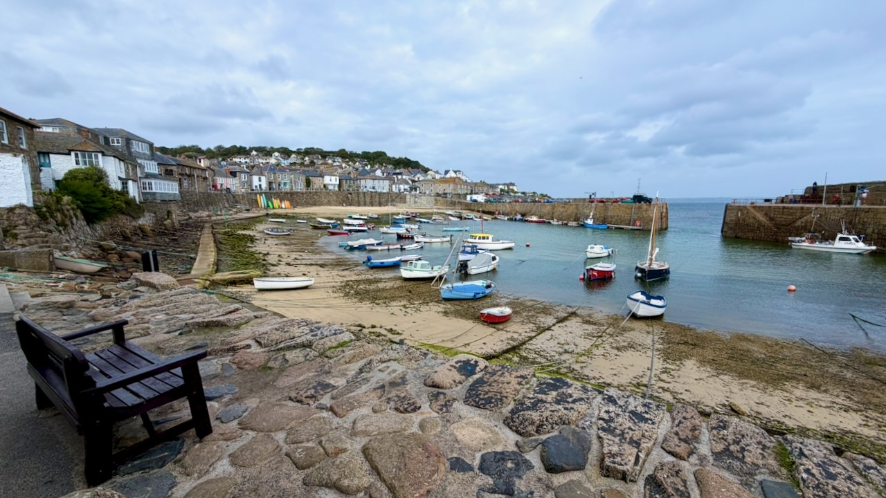
Here’s quaintly named Mousehole.
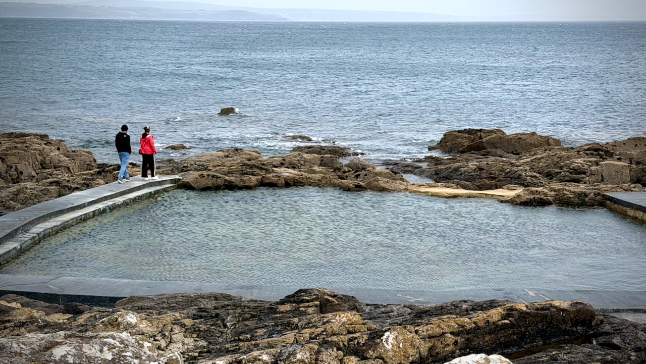
The Mousehole Rock Pool is a historic, community-built tidal sea plunge.
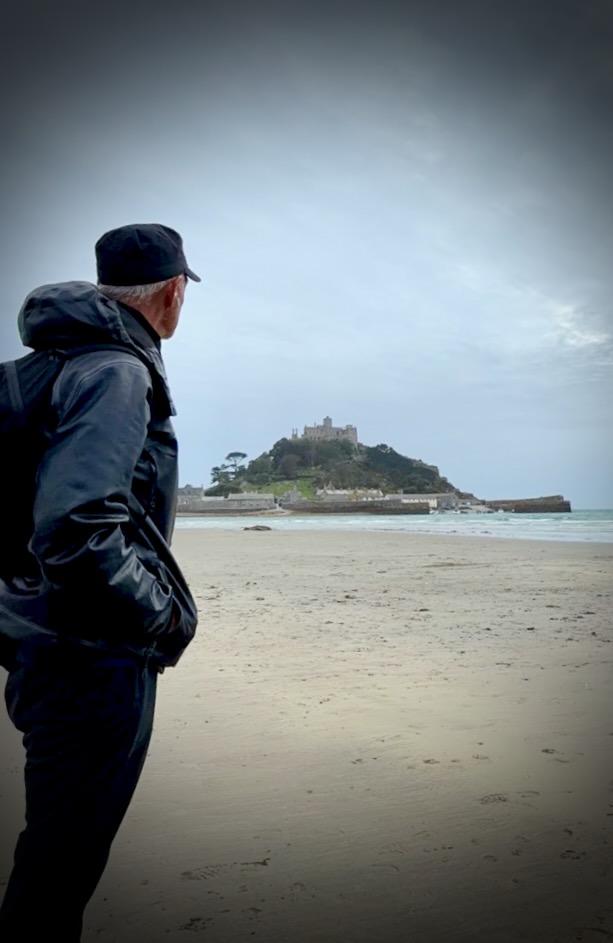
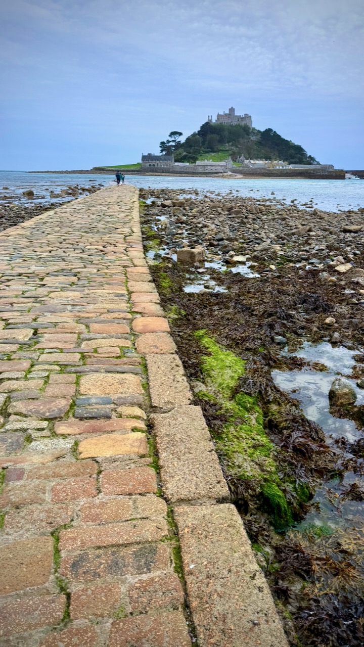
Once set-up at camp in Penzance, I hopped a bus to see St. Michaels Mount. Though I arrived in time for the low tide crossing, wind and waves made it impossible.
Great hike. Highly recommended.